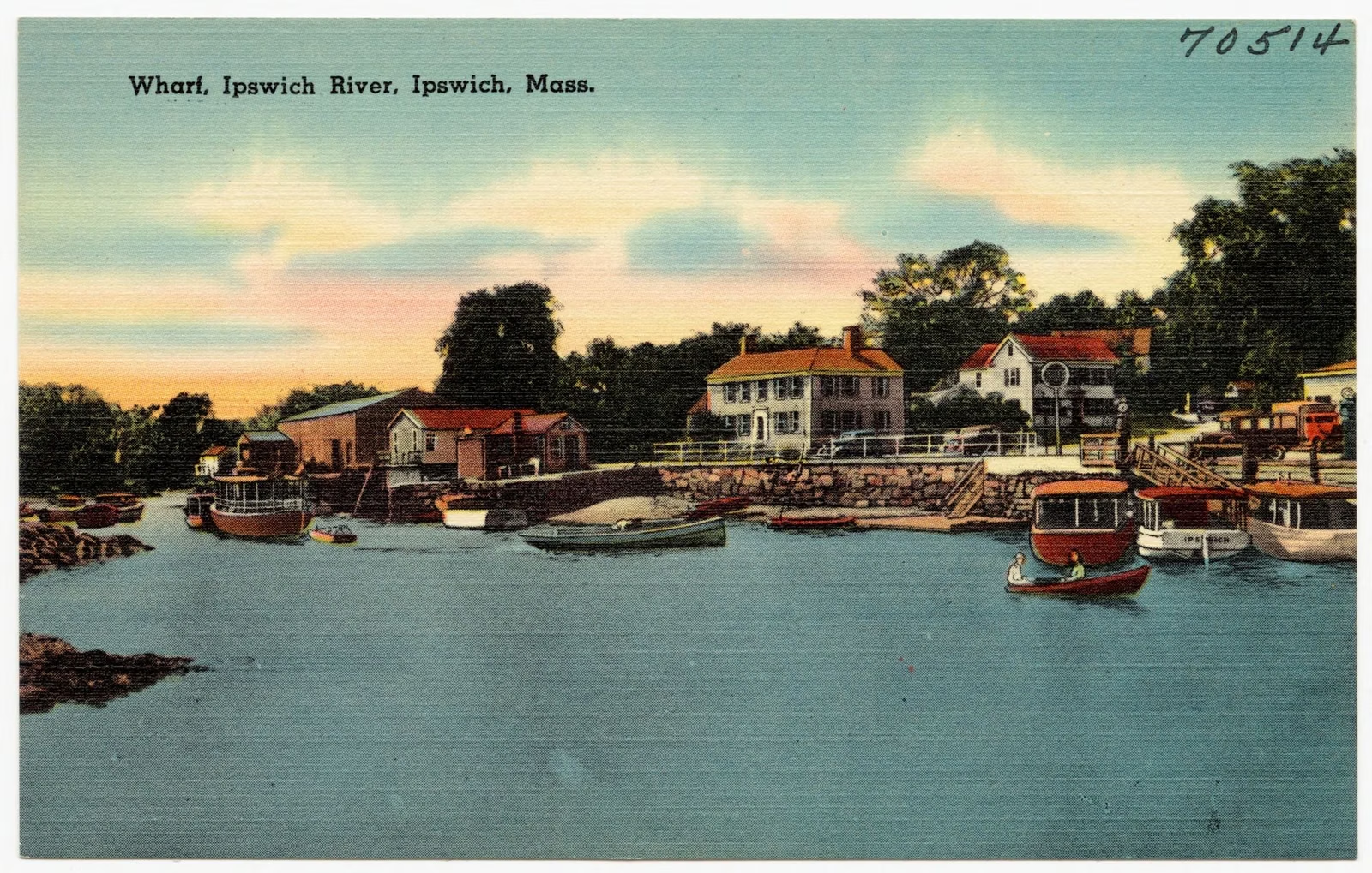
The Ipswich River
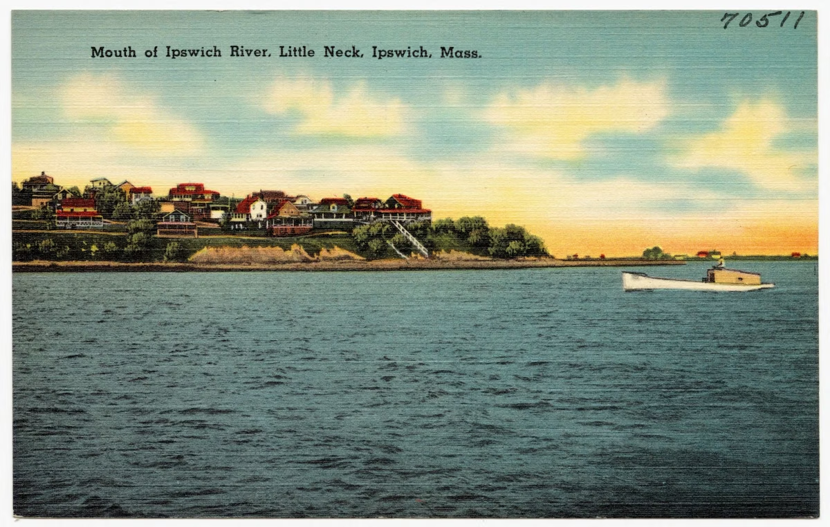
45 miles from Burlington to the Great Marsh
The Ipswich River runs 45 miles across northeastern Massachusetts, from its headwaters in Burlington through Wilmington, Reading, North Reading, Middleton, Peabody, Topsfield and Hamilton to Ipswich, where it empties into the Great Marsh. That's the Ipswich River Watershed Association's description. The river is mostly flat water, a drinking-water source for the region, and a paddling and wildlife corridor. One protected stretch winds through Mass Audubon's 1,978-acre Ipswich River Wildlife Sanctuary in Topsfield.
The River at a Glance
A Working River and a Wild One
Essex County Greenbelt calls the Ipswich an artery that supports life in the region: people rely on it as a significant water supply as well as a place to relax outdoors. It is also a link in the chain of protected land along its banks. Greenbelt says more than 4,000 acres within the watershed are protected, and many of its own reservations border the river.
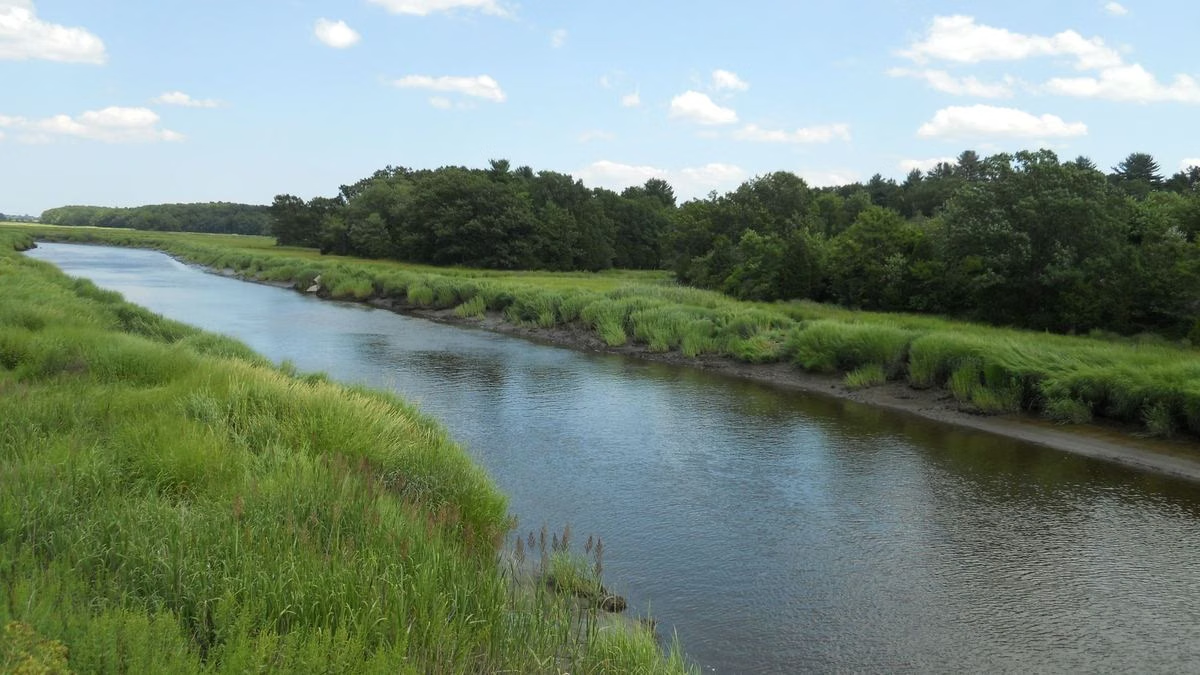
IRWA notes that, with a few exceptions, the river is free from development along most of its course. In practice that means long stretches of wooded floodplain, marsh and beaver meadow between the road crossings.
Through the Wildlife Sanctuary
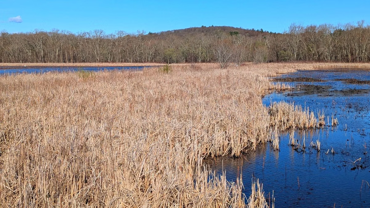
In Topsfield the river meanders through Ipswich River Wildlife Sanctuary, past Bunker Meadows, Perkins Island and the Great Wenham Swamp, as Mass Audubon's trail map shows. The sanctuary's Ipswich River Trail ends at a canoe landing where Mass Audubon rents canoes and kayaks in season, and members can camp on Perkins Island. The South Esker Trail, a narrow ridge left by a glacial stream, gives views of the river, marsh and cattails from land; see the trail map.
The River's Ice Age Story
Greenbelt's guide tells a striking piece of geology. The Ipswich originally flowed into Massachusetts Bay at what is now the Beverly–Salem harbor. After the last Ice Age, as the land rose, released from the great weight of the Laurentide ice sheet, the river changed course toward Ipswich Bay. That rebound continues today, alongside sea level rise.
People on the River
Greenbelt notes that its properties along the river are on the ancestral lands of the Pennacook and Pawtucket, Abenaki-speaking peoples, and that Indigenous people relied on the river to reach the salt marsh, clam flats and islands of Ipswich Bay. Near Fish Brook in Topsfield, paddlers pass the site of Shenewemedy, a Pawtucket village whose name the first English settlers took for their plantation.
Paddling
IRWA calls the Ipswich one of the largest paddling destinations in Massachusetts and maps its public landings as the Ipswich River Water Trail. Low water in late summer can make the upper river impassable. Launch sites, routes and conditions are on paddling the Ipswich River.
Fishing the Ipswich River
Greenbelt says the river offers abundant rainbow and brown trout in late spring. Fishing is prohibited on the Mass Audubon sanctuary, so fish from public land elsewhere on the river. Massachusetts requires a fishing license for anglers 15 and older; check MassWildlife's current rules before you go.
Wildlife Along the River
IRWA calls the watershed an excellent place for birding, salamandering, butterfly watching and animal tracking, and says it is home to a number of endangered and threatened species. It singles out Willowdale State Forest as habitat for eight state-listed rare species, including the least bittern, and points to the sanctuary, Bradley Palmer State Park and Crane Beach among the watershed's top birding places. See birding at Ipswich River.
The Ipswich River Watershed Association
IRWA is the nonprofit that looks after the whole river. Its headquarters, Riverbend, is at 143 County Street in Ipswich. It runs the Ipswich River Water Trail, funded through the state Department of Conservation and Recreation's MassTrails grants, and its volunteer River Wardens check assigned sections of river and landings to keep the trail clean and safe. Members can use IRWA's canoes and kayaks at Riverbend for free.
Ipswich River Park Is Something Else
The town park called Ipswich River Park is in North Reading, on the river's upper reaches, with ball fields, courts and a canoe launch. See Ipswich River Park in North Reading.
Ipswich River FAQ
Where does the Ipswich River start and end?
It starts in Burlington and ends in the Great Marsh at Ipswich, 45 miles later, according to the Ipswich River Watershed Association.
What towns does the Ipswich River flow through?
Burlington, Wilmington, Reading, North Reading, Middleton, Peabody, Topsfield, Hamilton and Ipswich.
Can you fish in the Ipswich River?
Yes, from public land outside the Mass Audubon sanctuary, with a Massachusetts license if you're 15 or older. Essex County Greenbelt says the river has rainbow and brown trout in late spring. Fishing is prohibited on the sanctuary.
Can you swim in the Ipswich River at the sanctuary?
No. Mass Audubon's paddling and camping rules prohibit swimming.
What is the Ipswich River Watershed Association?
The nonprofit that protects the river. It runs the Ipswich River Water Trail and its River Wardens program from its Riverbend headquarters at 143 County Street, Ipswich.