Paddling the Ipswich River
Launches, routes and river conditions
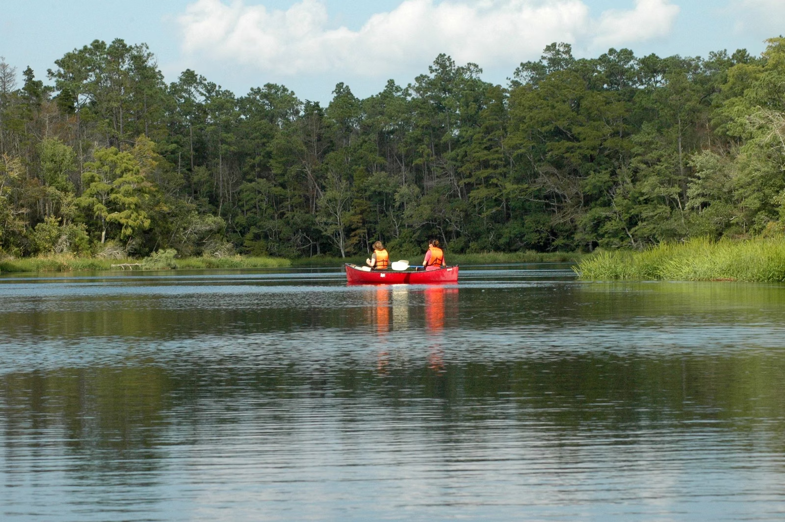
The Ipswich River is one of the best-known flat-water paddles in eastern Massachusetts, with public canoe and kayak launches from Wilmington to Ipswich. The Ipswich River Watershed Association (IRWA) maps them as the Ipswich River Water Trail. If you want to launch your own boat, use one of those landings. If you'd rather rent, Mass Audubon's Ipswich River Wildlife Sanctuary rents canoes and kayaks at its own landing in Topsfield ($30 members, $40 nonmembers for two hours), but it doesn't allow private boats.
IRWA describes a river that runs 45 miles from its headwaters in Burlington through Wilmington, Reading, North Reading, Middleton, Peabody, Topsfield and Hamilton to Ipswich, where it empties into the Great Marsh. It's mostly flat water with a few riffles that are best in spring, and with a few exceptions it is free of development along most of its course.
The River at a Glance
Ipswich River Canoe and Kayak Launches
IRWA lists the Water Trail landings in order, moving downstream; here they are grouped by town. Not every landing has its own page on IRWA's site yet, so check its map before you go:
- Jenks Bridge Landing and Sequoia Drive Landing — Wilmington
- Reading Town Forest and Lob's Pound Mill — Reading
- Ipswich River Park and North Reading Shopping Center — North Reading
- South Middleton Dam, Farnsworth Landing, Log Bridge Road, Mortalo Landing, Rachel's Rest, Peabody St. Landing, Thunder Bridge — Middleton
- Boston St Landing — Peabody; West St Landing — Danvers
- Rowley Bridge Road, Salem Road Landing, High Street Landing, Colt Island, Asbury Street — Topsfield
- Bradley Palmer, Willowdale Dam, Riverbend, Peatfield St Landing, Ipswich Mills Dam, County St. Landing — Ipswich; Winthrop Street — Hamilton
The Ipswich River Park landing in North Reading is the town park's canoe launch; see our guide to that park. Bradley Palmer State Park, next to the sanctuary, lists canoeing and kayaking among its activities; see things to do in Topsfield.
The Topsfield Stretches
Essex County Greenbelt's paddling guide covers the reaches around the sanctuary. Its upper stretch starts at Rowley Bridge Road, where Greenbelt's David Lampert and Thomas Sanders Reservations face each other across the river. Both are mostly floodplain wetland — wet and hard to reach on foot — but they make good launch points. From there the river meanders through mature woods with open views of the former Coolidge Estate, Meredith Farm and the Topsfield Fairgrounds, with gentle current. Greenbelt names the Salem Road or Route 97 launch sites as take-outs.
The next stretch, from Route 97, runs through a broad floodplain where wide wetlands flank the channel and small side channels invite exploring. Greenbelt calls it a serene, slow-moving paddle with many chances to watch wildlife, taking out at the Asbury Street or Ipswich Road launch sites. This is the reach that passes the Ipswich River Wildlife Sanctuary, where boats are not allowed to enter Bunker Meadows.
At the junction of Fish Brook and the Ipswich, Greenbelt notes, paddlers pass the site of Shenewemedy, the Pawtucket village that gave the earliest English settlers the name for their plantation.
Upper, Middle, Lower and Coastal
- Upper watershed: tight turns that suit a small kayak. IRWA says it's usually navigable in spring and early summer, but often extremely low or even dry from late summer into early fall. Good for spring birding.
- Middle watershed: through Middleton, paddlers from North Reading pass a long, shady corridor of mature trees that opens into a big sunny marsh, then shade again into Topsfield, with beaver meadows throughout.
- Lower watershed: IRWA calls it one of the most beautiful paddles in Massachusetts, past estates, farmland, a wildlife sanctuary, a state park and forest, with a couple of swifter sections.
- Coastal: the estuary winds its last miles through the Great Marsh's Spartina grass toward the beaches.
Water Levels and Obstacles
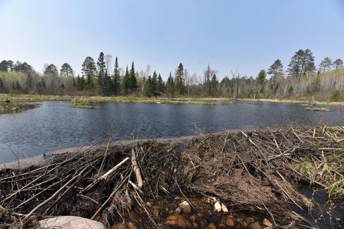
Check IRWA's River Conditions page for current flow before you plan a trip; low summer water is the most common reason a trip doesn't work. Fallen trees and beaver dams are part of this river. Mass Audubon warns its renters that water levels and beaver activity can block passage or force a short carry, and IRWA asks paddlers to report blow-downs to it on social media.
Maps and Boats
IRWA publishes the Ipswich River Water Trail map free in the Avenza map app and gives members a printed, water-resistant guide. At IRWA's Riverbend headquarters in Ipswich, members can use its kayaks and canoes free, first come, first served, with paddles and life jackets supplied; IRWA doesn't rent boats. From Riverbend you can paddle a mile downstream to the Ipswich Mills Dam or, water permitting, upstream for miles.
Fishing From a Boat
Greenbelt says the river offers abundant rainbow and brown trout in late spring. Fishing is not allowed anywhere on the Mass Audubon sanctuary, from shore or boat, so fish elsewhere on the river. More on the Ipswich River.
Good For / Maybe Skip If
- Good for beginners: mostly flat water and many short point-to-point options.
- Good for wildlife: beaver meadows, marshes and wooded floodplain along most of the river.
- Maybe skip the upper river in late summer; IRWA says it can be extremely low or dry.
- Maybe skip launching at the sanctuary with your own boat — only Mass Audubon rentals are allowed there.
Paddling FAQ
Where can I launch a kayak on the Ipswich River?
At any of the Ipswich River Water Trail landings mapped by the Ipswich River Watershed Association, from Wilmington to Ipswich. In Topsfield those include Rowley Bridge Road, Salem Road, High Street, Colt Island and Asbury Street.
Can I launch my own kayak at Ipswich River Wildlife Sanctuary?
No. Mass Audubon allows only its own rental canoes and kayaks at the sanctuary's landing. Use a public landing for a private boat.
How long is the Ipswich River?
The Ipswich River Watershed Association says 45 miles, from headwaters in Burlington to the Great Marsh in Ipswich.
Is the Ipswich River good for beginners?
Mostly. IRWA describes it as mostly flat water with a few riffles, best in spring. Watch for fallen trees and low water in late summer.
Is there a map of the Ipswich River for paddling?
Yes. IRWA's Ipswich River Water Trail map is free in the Avenza map app, and members get a printed water-resistant copy.
Where can I rent a canoe on the Ipswich River?
Mass Audubon's Ipswich River Wildlife Sanctuary in Topsfield rents canoes and kayaks in season ($30 members, $40 nonmembers for two hours).